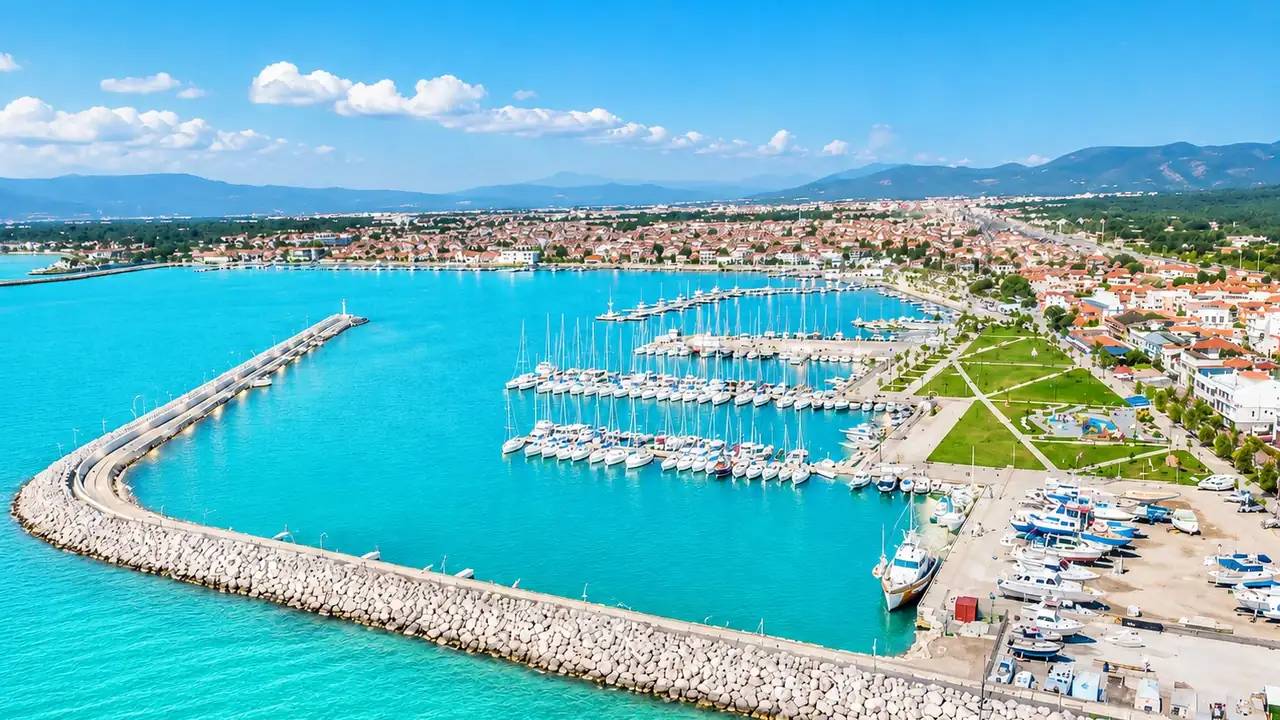
Where Is Ayvalık?
Ayvalık is a district of Balıkesir on the Aegean coast; at the southern tip of Edremit Bay, it is 25 km from Burhaniye, 40 km from Edremit and 150 km from İzmir. It lies between Gömeç and Dikili, facing the island of Lesbos (Midilli). Access is easy via the E-87 highway and Balıkesir Koca Seyit Airport (35 min).
What Is Ayvalık Like?
With its stone mansions, boutique hotels converted from olive-oil factories and its 22 islands, Ayvalık is the North Aegean’s most characterful coastal district. With Cunda Island, Sarımsaklı Beach and Şeytan Sofrası it is a centre of tourism, and with its centuries-old olive groves a centre of olive-oil production. Its historic town fabric is on the UNESCO World Heritage Tentative List.
Places to Visit in Ayvalık
The symbol of Ayvalık, with its stone streets, Greek architecture, fish restaurants and the Sevim–Necdet Kent Library (Taksiyarhis).
With 7 km of fine sand, one of the longest beaches in Turkey; Blue Flag.
A volcanic hill offering a 360° panorama of the bay at sunset.
Antique shops and coffee houses around a historic Greek church converted into a mosque.
Coves explored by boat tour; famous for its diving spots.
Ayvalık Neighbourhoods and Districts
The heart of tourism; stone houses with high restoration value are the focus of investors.
Beach tourism and holiday complexes; high seasonal rental yields.
Close to Badavut beach; a developing area dominated by detached houses and villas.
Prestigious homes among pine groves overlooking the sea.
Stone mansions in the historic fabric; boutique-hotel conversions are ongoing.
What Is the Sea Like in Ayvalık?
In Ayvalık the sea is calm and clear in the coves sheltered by the islands. Sarımsaklı, with its 7 km of fine sand and Blue Flag, is ideal for families; the Cunda side stands out with pebble and rock coves and diving spots. The water is good for swimming from mid-June to early October; because the islands break the wind, waves are generally low.
Earthquake Facts in Ayvalık: A Guide for the Informed Buyer
Ayvalık is influenced by the Aegean extensional regime; moderate tremors (in the M4–5 band) felt from time to time across the bay are part of the region’s natural rhythm. For the district’s stone building stock, getting an earthquake engineer’s opinion on strengthening and restoration projects, and for new complexes, looking for a post-2019 permit, provides sufficient awareness.
Like the rest of Turkey, Edremit Bay and the North Aegean live with the reality of earthquakes. AFAD’s Turkey Earthquake Hazard Map, in force since 2019, replaced the old “earthquake zones” with scientific peak ground acceleration (PGA) values; on this map the Balıkesir–Çanakkale coastal belt falls in the moderate-to-high hazard band. This is a fact that calls for informed choices, not panic: within the same area, the difference between a building constructed on the right ground under the right code and an old, uninspected one is decisive.
The good news: since 1 January 2019, every new building has been designed under the Turkish Building Earthquake Code (TBDY 2018), one of the most up-to-date standards in the world, and a soil survey and building inspection are mandatory. The fact that most construction around the bay is low-rise (2–5 storeys) is another advantage for the region when it comes to managing structural risk.
- Ask for the year of construction/building permit — buildings from 2019 onwards fall under TBDY 2018.
- Request the occupancy permit (iskân, the building use permit) and the building inspection record.
- Check the plot’s soil survey report; on plain/alluvial ground this report matters even more.
- Treat a DASK policy (compulsory earthquake insurance) as a natural part of any purchase or sale.
- Prefer buildings with condominium ownership (kat mülkiyeti) that comply with their approved plans; our consultants check all of these documents for you.
Sources: AFAD Turkey Earthquake Hazard Map (2019), Turkish Building Earthquake Code (TBDY 2018), Balıkesir Provincial Disaster Risk Reduction Plan (İRAP).
Frequently Asked Questions
Why are property prices in Ayvalık high?
The historic fabric on the UNESCO tentative list, limited zoning and strong tourism demand push prices for stone houses and homes near the sea above the bay average.
Is Ayvalık a good place to invest?
In terms of boutique-hotel conversions, seasonal rentals and land appreciation, it is one of the most liquid markets in the North Aegean.
Ayvalık at a Glance
With its stone mansions, Cunda Island and Sarımsaklı Beach, Ayvalık is the most characterful coastal district of the North Aegean. The area lies on the coastal strip of Edremit Bay and has attracted strong interest from property investors in recent years.
Key Features of the Area
- Cunda Island
- Sarımsaklı Beach
- UNESCO tentative list
- Boutique hotel conversions
- 35 min to airport
Property Options in Ayvalık
Ayvalık lies on the coastal strip of Edremit Bay and stands out for features such as Cunda Island and Sarımsaklı Beach. Our portfolio in the area is updated continuously; you can also find current opportunities through the nearby area guides below.
Is Investing in Ayvalık a Good Idea?
Short answer: Yes. Ayvalık stands out as one of the fastest-appreciating areas of Edremit Bay. Thanks to its proximity to the beach, sea views and summer tourism income, it is chosen both for permanent living and for investment.
Investment Advantages
- Regional growth potential — over 41% value increase in the last 5 years
- Strong rental income from summer tourism (for coastal locations)
- Cunda Island — the area's signature feature
- Close to Istanbul (5 hours) and İzmir (3 hours)
- Straightforward title deed (tapu) procedures for foreign investors
- Investments of $400,000+ can be used for Turkish citizenship
Ayvalık and Nearby Areas
The areas neighbouring Ayvalık also offer valuable investment opportunities. Compare areas by browsing the guides below: