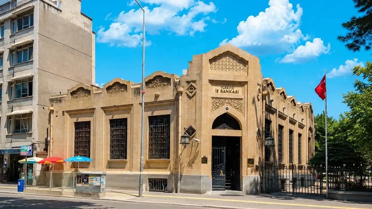
Where Is Edremit?
Edremit is the central district of Balıkesir that gives the bay its name; it is 5 km from Akçay beach, 90 km from Balıkesir and 15 minutes from Koca Seyit Airport. It is set at the southern foot of the Kazdağları, in the middle of the bay’s plain.
What Is Edremit Like?
With its state hospital, schools, courthouse and bazaar, Edremit is the administrative and commercial centre of the bay and the daily service base for those living in the coastal towns too. It is the historic capital of the olive-oil trade; the “Edremit-type olive” takes its name from here.
Places to Visit in Edremit
Routes to Şahindere Canyon and Sutüven Waterfall.
Ottoman-era commercial fabric.
A private museum on Turkmen culture.
The busiest beaches in the bay, 5–8 km from the centre.
Edremit Neighbourhoods and Districts
The centre of coastal tourism; a mix of holiday and permanent homes, the market with the highest liquidity.
A focus of health tourism with its thermal hotels and boutique complexes.
Famous for its oxygen; a prestigious belt of complexes at the foot of Kazdağı.
The gateway to the national park; detached living in the midst of nature.
Next to Akçay; a dense fabric of beachfront holiday homes.
Walking distance to the bazaar, hospital and schools; the choice for permanent living.
Developing, competitively priced residential areas on the edge of the centre.
A detached-house fabric with large plots on the plain side.
What Is the Sea Like in Edremit?
Edremit’s sea is found at the beaches of Akçay and Altınkum: in Akçay the sea is shallow, the bottom sandy and family-friendly — artesian springs keep the water cool in places, which is Akçay’s signature. Altınkum, true to its name (“golden sand”), is a long beach of fine sand; both are operated to Blue Flag standards.
Earthquake Facts in Edremit: A Guide for the Informed Buyer
Edremit is associated with the Edremit Fault Zone that bears its name; moderate earthquakes such as the M5.3 tremor recorded in the bay on 21 January 2025 are a reality of the region — a known and monitored one (AFAD–Kandilli). The new housing stock in the centre is predominantly permitted after 2019 under TBDY 2018; on the plain a soil survey matters, while on the Kazdağı foothills (Zeytinli, Güre) the advantage of rock ground stands out.
Like the rest of Turkey, Edremit Bay and the North Aegean live with the reality of earthquakes. AFAD’s Turkey Earthquake Hazard Map, in force since 2019, replaced the old “earthquake zones” with scientific peak ground acceleration (PGA) values; on this map the Balıkesir–Çanakkale coastal belt falls in the moderate-to-high hazard band. This is a fact that calls for informed choices, not panic: within the same area, the difference between a building constructed on the right ground under the right code and an old, uninspected one is decisive.
The good news: since 1 January 2019, every new building has been designed under the Turkish Building Earthquake Code (TBDY 2018), one of the most up-to-date standards in the world, and a soil survey and building inspection are mandatory. The fact that most construction around the bay is low-rise (2–5 storeys) is another advantage for the region when it comes to managing structural risk.
- Ask for the year of construction/building permit — buildings from 2019 onwards fall under TBDY 2018.
- Request the occupancy permit (iskân, the building use permit) and the building inspection record.
- Check the plot’s soil survey report; on plain/alluvial ground this report matters even more.
- Treat a DASK policy (compulsory earthquake insurance) as a natural part of any purchase or sale.
- Prefer buildings with condominium ownership (kat mülkiyeti) that comply with their approved plans; our consultants check all of these documents for you.
Sources: AFAD Turkey Earthquake Hazard Map (2019), Turkish Building Earthquake Code (TBDY 2018), Balıkesir Provincial Disaster Risk Reduction Plan (İRAP).
Frequently Asked Questions
Where should you live in Edremit?
For year-round living, the centre (Hamidiye/Camivasat) and Zeytinli; if the sea is your focus, Akçay–Altınkum; for tranquillity and nature, the Güre–Altınoluk line stands out.
Does central Edremit or the coast gain more value?
The coastal strip appreciates through tourism, the centre through demand linked to hospitals and schools; in recent years permanent relocation has brought prices in the centre and Zeytinli closer to those on the coast.
Edremit at a Glance
Edremit, one of Balıkesir’s most developed districts, is ideal for permanent living with its central bay location, developed shopping and education facilities. The area lies at the heart of Edremit Bay and has attracted strong interest from property investors in recent years.
Key Features of the Area
- Hospitals and schools
- Government offices
- Wide transport network
- Olive industry
- Market days
Property Options in Edremit
Browse the property types in our portfolio in Edremit and go straight to the type you are interested in:
Is Investing in Edremit a Good Idea?
Short answer: Yes. Edremit stands out as one of the fastest-appreciating areas of Edremit Bay. Thanks to its central location, developed infrastructure and easy access to services, it is chosen both for permanent living and for investment.
Investment Advantages
- Regional growth potential — over 41% value increase in the last 5 years
- Strong rental income from summer tourism (for coastal locations)
- Hospitals and schools — the area's signature feature
- Close to Istanbul (5 hours) and İzmir (3 hours)
- Straightforward title deed (tapu) procedures for foreign investors
- Investments of $400,000+ can be used for Turkish citizenship
Edremit and Nearby Areas
The areas neighbouring Edremit also offer valuable investment opportunities. Compare areas by browsing the guides below:
Our Branch Serving This Area
For expert real estate advice in Edremit, get in touch with Akçay Branch.
View Branch Details


